The Boston Subway Map Explained
Boston's subway map is one of the smallest you will find in a major American city, and that is exactly why it confuses people. Four colored lines, a handful of junction stations, and a street pattern far older than the transit system itself mean the map hides more than it shows. The Massachusetts Bay Transportation Authority, everyone here calls it the MBTA or simply "the T", publishes the fare and route rules that matter, and this guide walks through all of them: what each line actually connects, how the September 2026 fare change works, where the map quietly fails you, and how to get from Logan Airport downtown for free.
Short answer
The Boston subway has four color-coded lines: the Red Line running north-south from Alewife through downtown to Ashmont or Braintree, the Orange Line from Oak Grove to Forest Hills, the Green Line branching into four western forks, and the Blue Line running from Wonderland on the coast to Bowdoin downtown. The Silver Line, a bus rapid transit route, also appears on the map and includes the SL1 branch to Logan Airport. Together they cover the neighborhoods a visitor actually needs.
Boston's subway map is one of the smallest you will find in a major American city, and that is exactly why it confuses people. Four colored lines, a handful of junction stations, and a street pattern far older than the transit system itself mean the map hides more than it shows. The Massachusetts Bay Transportation Authority, everyone here calls it the MBTA or simply "the T", publishes the fare and route rules that matter, and this guide walks through all of them: what each line actually connects, how the September 2026 fare change works, where the map quietly fails you, and how to get from Logan Airport downtown for free.
The subway needs no attraction booking. If your itinerary includes an island day, compare the separate Harbor Islands return ferry for your chosen destination and date. Salem is another seasonal ferry choice, with its return ticket purchased separately; ordinary commuter rail remains an alternative. Check island ferry dates and destination
What Are The Four Lines On The Boston Subway Map?
The Boston subway has four color-coded lines: the Red Line running north-south from Alewife through downtown to Ashmont or Braintree, the Orange Line from Oak Grove to Forest Hills, the Green Line branching into four western forks, and the Blue Line running from Wonderland on the coast to Bowdoin downtown. The Silver Line, a bus rapid transit route, also appears on the map and includes the SL1 branch to Logan Airport. Together they cover the neighborhoods a visitor actually needs.
The Red Line connects Harvard and Kendall/MIT in Cambridge with downtown and South Station. The Orange Line connects North Station, Downtown Crossing and Back Bay, but does not stop at South Station. Between North and South stations, change Orange–Red at Downtown Crossing or compare walking; North–Back Bay is a direct Orange Line journey.
The Green Line is the one the map under-explains. It is a light rail line that splits into four branches, B, C, D and E, west of Kenmore and Copley. If your destination is in Brookline, Brighton, Newton or along Huntington Avenue, you need the right letter as well as the right color. The E branch is the one to watch right now: Symphony station on it has been closed since 6 June 2026 for accessibility work, and the closure is scheduled through spring2029. Trains bypass it, so anyone headed to Symphony Hall or the Northeastern end of Huntington Avenue should plan to walk from the Hynes Convention Center stop or use the 39 bus instead.
The Blue Line is short but critical for airport travelers, running from Wonderland in Revere to Bowdoin, with a free Massport shuttle connecting Airport station to all the Logan terminals. For a fuller treatment of airport logistics, see the Logan Airport guide, and for the airport-to-downtown question specifically, the Logan to downtown Boston guide covers every option with prices.
How Much Does The Boston Subway Cost?
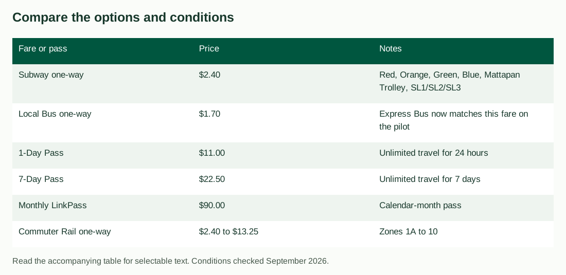
A single subway ride costs $2.40, and a local bus ride costs $1.70, per the MBTA's published fare table. A 1-Day unlimited pass is $11.00, a 7-Day pass is $22.50, and a monthly LinkPass is $90.00. Subway fares apply on the Red, Orange, Green and Blue lines, the Mattapan Trolley and Silver Line routes SL1, SL2 and SL3. Since 1 September 2026, one payment covers unlimited transfers between subway, bus and ferry within a two-hour window, charging only the highest-priced leg.
That transfer rule is the biggest change to hit the system in years, and most older guides have not caught up. Before September 2026 the MBTA capped transfers at two, with further restrictions. Now, per the MBTA's fall fare pilots page, you can transfer as many times as you like inside a two-hour window and pay only the cost of the most expensive leg, provided you use the same form of payment on every leg. Tap the same card, phone or watch each time and the system does the arithmetic.
| Fare or pass | Price | Notes |
|---|---|---|
| Subway one-way | $2.40 | Red, Orange, Green, Blue, Mattapan Trolley, SL1/SL2/SL3 |
| Local Bus one-way | $1.70 | Express Bus now matches this fare on the pilot |
| 1-Day Pass | $11.00 | Unlimited travel for 24 hours |
| 7-Day Pass | $22.50 | Unlimited travel for 7 days |
| Monthly LinkPass | $90.00 | Calendar-month pass |
| Commuter Rail one-way | $2.40 to $13.25 | Zones 1A to 10 |
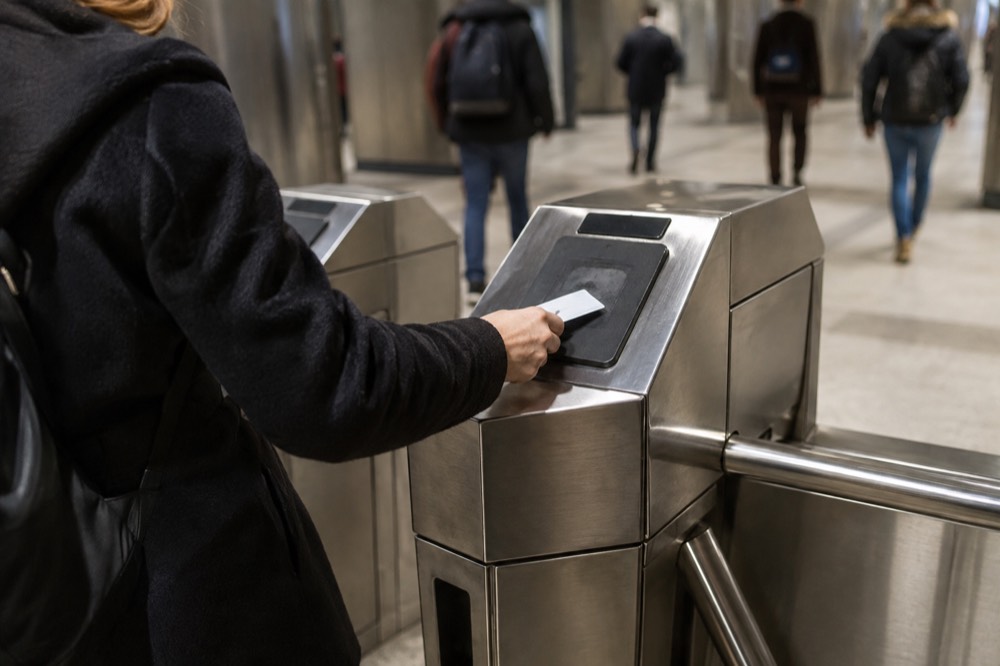
Transfer rights depend on both the payment medium and journey; a pass and stored value are not the same fare product. Use a supported payment method consistently for eligible transfers and check the current rules for cash or paper tickets. Review refund terms before buying a pass. The CharlieCard and fares guide explains the choices.
Why Does The Same Pass Behave Differently On A Card And A Ticket?
A 1-Day or 7-Day pass bought on a CharlieTicket starts at the date and time of purchase, while the same pass loaded on a CharlieCard starts at its first use. The MBTA publishes both rules on the same fares page. For a visitor who buys a pass on arrival evening and starts sightseeing the next morning, that difference is most of a day of validity, and it is the single most common way visitors lose money on the T without knowing it.
The practical version: if you buy a 7-Day pass on a CharlieTicket at Logan on Monday night, the clock started Monday night, and the pass dies the following Monday night regardless of when you first ride. On a CharlieCard, the clock starts the first time you tap through a fare gate. The CharlieCard is the reusable plastic card; the CharlieTicket is the flimsy paper one dispensed by vending machines. Machines at Logan and major downtown stations issue both.
Contactless Tap to Ride lets you pay supported fares with a bank card, phone or watch. Do not assume it loads the same pass as a CharlieCard or automatically caps spending. Check the current payment and pass rules, use the same payment method for eligible transfers, and account for any bank foreign-transaction fees.
For getting around beyond the subway, the getting around Boston guide covers buses, ferries and walking distances, and the Boston commuter rail guide handles the zones that reach Providence and Salem.
How Do You Get From Logan Airport Into Boston?
The Silver Line SL1 is free leaving Logan: Massport's own page states that it provides free service between the terminals and South Station from the terminal curb, and because SL1 runs into South Station you reach the subway network without paying anything. Going the other way, toward the airport, you are inside the paid system and pay the ordinary $2.40 fare. Arriving in Boston from Logan by public transport can therefore cost nothing.
That free leg is directional, and this is where nearly every guide gets it backwards. Board SL1 at the terminal curb with luggage, ride to South Station, and no fare is collected. From South Station you can transfer to the Red Line or walk into the Financial District. When your trip ends and you head back to Logan, you tap in and pay $2.40 like any other subway ride, because the free direction is the one leaving the airport. The wording is Massport's own, on its to-and-from-Logan page.
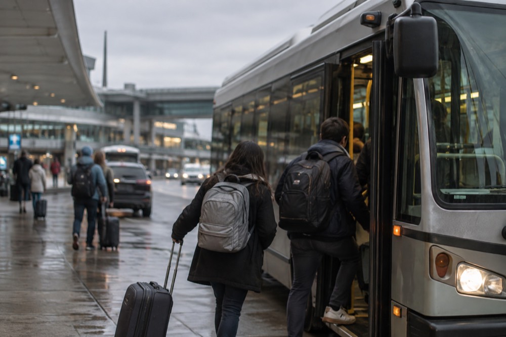
A free Massport shuttle connects the terminals to Airport station; the Blue Line ride itself is paid. Other airport shuttles serve terminal, rental-car and dock connections. Logan Express lists Back Bay, Braintree, Framingham, Danvers and Woburn; check the current route and boarding point for your date. More guides are collected on Boston Travel Guide.
Check current Massport notices before travel. The2026 Runway9/27 rehabilitation’s second phase began August 31 for roughly75 days with limited use. Undated terminal bridge, Kidport and roadway notices should not automatically be assigned to2026 or used to predict an individual flight delay. The Logan parking guide and airport hotels guide cover overnight options.
Which Line Goes Where? A Station-By-Station Orientation
The Orange Line connects North Station and Back Bay, while South Station is on the Red Line. Harvard and Kendall/MIT are also on Red; Green has branch-specific routes, and Blue links Airport station with Aquarium and downtown. From a Logan terminal, first use the airport shuttle to reach Blue, or take SL1 toward South Station.
Here is the orientation table that the official map implies but never states:
| Line | Key visitor stations | Best for |
|---|---|---|
| Red Line | Charles/MGH, Park Street, Harvard, Kendall/MIT, South Station | Cambridge, Harvard Yard, MIT Museum, arriving from the south |
| Orange Line | North Station, Haymarket, State, Downtown Crossing, Back Bay | North End edge, Theater District, Back Bay, train terminals |
| Green Line | Park Street, Government Center, Copley, Kenmore, Hynes, Boylston | Fenway Park, Museum of Fine Arts, Brookline, Back Bay |
| Blue Line | Airport, Maverick, Aquarium, State | Logan Airport, East Boston, New England Aquarium |
| Silver Line SL1/SL2/SL3 | South Station, Courthouse, World Trade Center, Airport | Seaport District, Logan Airport, convention center |
A few pairings are worth memorizing. The New England Aquarium is one block from the Blue Line's Aquarium stop. Fenway Park sits near Kenmore on the Green Line, and the Fenway Park tours guide covers which branch to take on game days. The Museum of Fine Arts has its own Green Line stop, on the E branch, which makes the Symphony closure relevant to museum visitors too. The Freedom Trail's start at Boston Common is at Park Street, the junction of the Red and Green lines, and the Freedom Trail tours guide maps the walk from there.
What Are The Common Mistakes The Boston Subway Map Hides?
The map hides three things that catch visitors: Cambridge, Somerville and Brookline are separate municipalities, not Boston neighborhoods, so subway stops there are outside the city proper; the Green Line requires a branch letter, not just a color, and boarding the wrong branch can strand you on the wrong street; and weekend diversions, including a full central Green Line suspension on 19 to 20 September 2026, replace normal service without changing the printed map at all.
Check both branch letter and destination before boarding Green. B goes to Boston College, C to Cleveland Circle, D to Riverside and E to Heath Street in the outbound direction. Toward the northern extensions, D serves Union Square and E serves Medford/Tufts. The correct boarding point depends on your route and current diversions; sharing track downtown does not make every train suitable for every destination.
The weekend closure problem is current and real. The MBTA has been running rolling diversions on the tourist lines through September and into October, including Orange Line work between Forest Hills and Back Bay on 10 to 14 September, Red Line work on 19 to 20 September, Green Line segment closures across several weekends, and free shuttle buses replacing trains on all of them. Symphony station's closure, ongoing since June, is separate and ongoing with closure scheduled through spring2029. The MBTA's own service pages list the dates, and any itinerary built around a specific line should check them the week of travel.
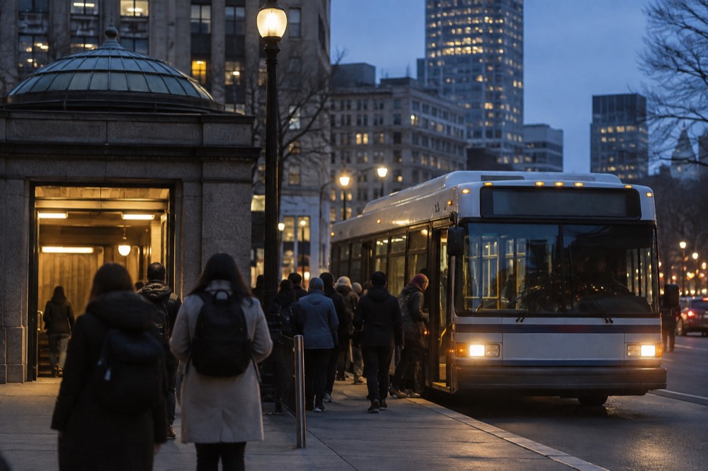
The city-boundary problem is more of a mental map issue. Harvard Square is in Cambridge, Davis Square is in Somerville, and Coolidge Corner is in Brookline; none of them are Boston, though the T serves all three. That matters for accommodation decisions, and the where to stay in Boston guide sorts the neighborhoods by subway access.
Should You Buy A Pass Or Pay Per Ride?
A 7-Day pass at $22.50 pays for itself at roughly ten subway rides, and a 1-Day pass at $11.00 breaks even at about five, so the arithmetic favors passes only for genuinely packed days of sightseeing. With the September 2026 two-hour transfer window, a day of hop-on hop-off riding often costs just two or three individual fares instead, which pushes the break-even point higher and makes pay-per-ride the better default for many visitors.
Count separately charged fares after eligible transfers. Five $2.40 fares total $12, just above an $11 day pass; ten total $24, above a $22.50 seven-day pass. The number of taps alone does not establish the fare total, and a whole day is not necessarily contained in two transfer windows.
| Rider profile | Recommended fare | Why |
|---|---|---|
| Two or three rides a day | Pay per ride, $2.40 each | Transfer window bundles most multi-leg trips |
| One packed sightseeing day | 1-Day Pass, $11.00 | Cheaper than five separately paid $2.40 subway fares |
| Five or more days of heavy riding | 7-Day Pass, $22.50 | Breaks even around ten rides |
| Day trips to Salem or Providence | Actual zone fare or eligible$10 weekend pass | Zone-based, separate fare rules |
| Airport arrival only | SL1 from Logan | Free leaving Logan terminals toward South Station |
Before buying a pass, check its accepted medium, start time, included modes and refund conditions. A CharlieTicket pass starting at purchase differs from a CharlieCard pass starting at first use; paying contactlessly is not proof you bought either pass. The budget itinerary helps compare actual ride needs.
Where Does The Subway Not Go, And What Are The Alternatives?
The subway does not reach the Harbor Islands or rural day-trip destinations directly. The Seaport has Silver Line bus service, Charlestown can be reached by bus, Orange Line plus walking or harbor ferry, and commuter rail serves Salem and Providence. The Braintree branch does serve useful south-shore stops; choose the actual destination rather than dismissing it for everything south of Boston.
Harbor Islands ferries have destination-specific seasonal calendars and separate tickets. Choose the island, departure dock and return sailing; a fare table labeled 2025 is not a current quote. The ferries and water taxis guide covers routes, and whale watching describes a different offshore outing. The Salem guide compares commuter rail with its separate seasonal ferry.
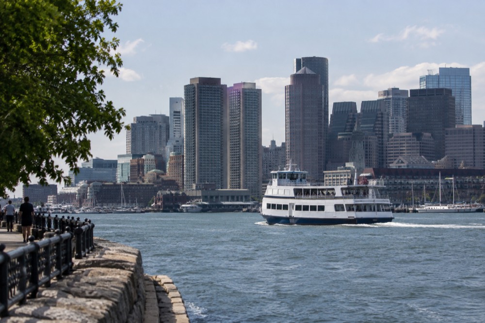
For New York, compare intercity trains and buses in Boston to New York. Trains can also serve Back Bay depending on the service. A Duck Tour is a sightseeing ride, not a replacement for the subway or intercity transport.
Curious about a day beyond the rail map? Explore a return ferry to either Georges or Spectacle Island. Select the actual island and seasonal sailing, including the last return; this ticket is separate from MBTA fares and does not include unrestricted island hopping. Check island ferry dates and destination
How Does The Subway Map Connect To Boston's Big Attractions?
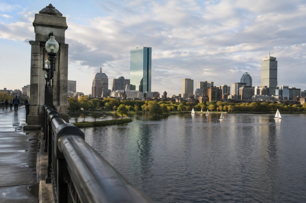
Almost every major attraction sits within a ten-minute walk of a subway station: the Freedom Trail starts at Park Street on the Red and Green lines, Fenway Park is at Kenmore on the Green Line, the New England Aquarium is at Aquarium on the Blue Line, the Museum of Fine Arts has its own Green Line E stop, and the USS Constitution and Bunker Hill in Charlestown are the main exceptions, reached by a short ferry from Long Wharf or a walk from the Orange Line's Community College stop.
| Attraction | Nearest station | Line | Walk from station |
|---|---|---|---|
| Freedom Trail start, Boston Common | Park Street | Red, Green | At the exit |
| Fenway Park | Kenmore | Green B, C, D | About 10 minutes |
| New England Aquarium | Aquarium | Blue | About 2 minutes |
| Museum of Fine Arts | Museum of Fine Arts | Green E | About 2 minutes |
| Faneuil Hall, Quincy Market | Haymarket | Orange, Green | About 5 minutes |
| USS Constitution, Charlestown Navy Yard | Community College | Orange | About 20 minutes, or ferry |
| Boston Public Garden | Arlington | Green | About 3 minutes |
| TD Garden, North Station | North Station | Green, Orange | At the exit |
The outdoor Freedom Trail is free to follow; historic interiors have separate fees and hours. The standard 2.5-hour guided walk ends in the North End, while the full Trail continues to Bunker Hill. Choose the correct route and onward station. See things to do in Boston and this weekend for wider planning.
Is The Boston Subway Good For Families And First-Time Visitors?
The subway suits first-time visitors because downtown is compact and the four lines cross at a handful of obvious junctions, and a family should compare separately charged fares after transfers and each child’s fare eligibility with pass prices. Strollers are permitted, and stations on the Red, Orange and Blue lines are largely accessible by elevator.
Useful interchanges include Park Street for Red–Green, Downtown Crossing for Red–Orange, State for Orange–Blue and Government Center for Green–Blue. Plan the complete route rather than assuming everything is one seat away. The first-time guide and one-day itinerary explain the destinations; one day is not a single two-hour transfer window.
Weather and service disruptions can affect both surface and rail travel. Check alerts and elevator status on the day, particularly in winter; climate averages do not guarantee normal service. The weather and best-time guides provide seasonal context.
Common Questions About The Boston Subway Map
how do i read the boston subway map?
Read it as four colors and one bus: Red for Cambridge and the south, Orange for the north-south spine through downtown, Green for the western branches (check the B, C, D or E letter), Blue for the airport and the North End waterfront, and the Silver Line for the Seaport and Logan. The lines cross downtown at Park Street, Downtown Crossing, State, Government Center and Haymarket, but some trips, including Blue–Red connections, need more than one transfer.
what does a ride on the boston subway cost?
A single subway ride costs $2.40 and a local bus ride $1.70, per the MBTA fare table. A 1-Day pass is $11.00 and a 7-Day pass is $22.50. Since 1 September 2026, one payment covers unlimited transfers between subway, bus and ferry within a two-hour window, charging only the highest-priced leg, as long as you use the same payment method on every leg.
is the subway from logan airport free?
The Silver Line SL1 is free leaving Logan from the terminal curb, and it runs into South Station, so arriving in Boston by public transport can cost nothing. Going toward the airport you are inside the paid system and pay the ordinary $2.40 subway fare. The free leg is directional: it covers only the trip away from the terminals.
what is the difference between a charliecard and a charlieticket?
They are different fare media with different supported products and activation rules. A one- or seven-day CharlieTicket pass starts at purchase, while the corresponding CharlieCard pass starts at first use. Check transfer rules for the exact stored-value or pass product; contactless bank-card payment is another option and does not automatically buy either pass.
which boston subway line goes to fenway park?
The Green Line, at Kenmore station, about a ten-minute walk from the ballpark. Check the train's destination letter before boarding west of downtown, since the B, C and D branches all serve Kenmore but the E branch does not. On game days the platform crowds are heavy, and the MBTA runs extra service; the Red Sox game guide covers the timing in detail.
does the boston subway go to harvard?
Yes, the Red Line has a Harvard station in Harvard Square, Cambridge. Note that Harvard Square is in Cambridge, a separate city from Boston, though the MBTA subway serves it directly. The ride from Park Street downtown takes about 15 minutes, and the station sits right at Harvard Yard's gates.
Book A Separate Ferry Only If Your Trip Goes Beyond The Subway
These options do not match your choice. Adjust the selection or reset to explore the starting recommendation.
Compare Your Complete Ferry Versus Public-Transport Outing Totals
Reader-entered estimates in USD, not live quotes. Use the same dates and travelers for both options. Include all relevant tickets, rooms, taxes, mandatory fees and transport for the entire trip once in each total. Do not add a transfer twice if your rate already includes it.
Boston Harbor Islands Ferry
Choose an available Spectacle or Georges Island departure. Spectacle Beach is unguarded in 2026, and its designated swimming season ends September 7. The ticket has a timed outward departure and open return on operating services to Boston; no inter-island service. Check the seasonal timetable and final return.
A starting option to explore. Choose dates, travelers and the exact booking option with the provider; availability and eligibility are confirmed there.
Check island ferry dates and destination