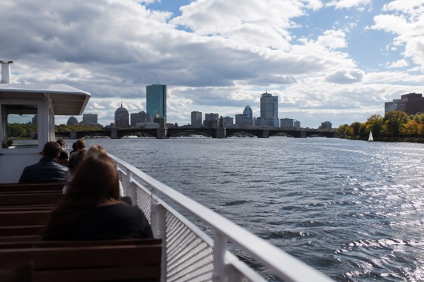
Why Do Old Maps Of Boston Look Different?
Because Boston spent roughly three centuries manufacturing its own real estate.
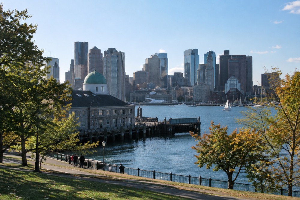
Old maps of Boston look different largely because the shoreline changed through land filling, alongside changes in city boundaries and mapping. The original Shawmut Peninsula was much smaller than today’s downtown. Back Bay, waterfront districts and parts of Logan Airport expanded onto former water; fill came from several sources, including material brought from outside Boston.
Curious about Boston’s waterfront from the water? Explore the narrated harbor cruise, with walking and Charles River options below. These are general history experiences, not specialist land-reclamation or historic-map tours. Check harbor cruise departure times
Why Does The Shape Of Boston Keep Changing On Old Maps?
Because Boston spent roughly three centuries manufacturing its own real estate. The original peninsula was a fraction of the modern city's size, and nearly every generation of Bostonians enlarged it by leveling hills and filling tidal flats. Beacon Hill, Fort Hill and Copps Hill all lost height or vanished entirely, and their gravel and clay became the ground under neighborhoods that now look centuries old.
When you compare maps from different eras, you are not looking at changing surveying styles, you are looking at a city that physically grew into its own harbor.
Read each map against its date and scale. Early wharf extensions, South Cove filling and the later Back Bay project happened at different times. Back Bay’s major filling began in 1857, using gravel transported by rail from Needham; it was not simply built from Boston’s own leveled hills. The Leventhal Map Center’s historic-map comparison helps locate the changes.
The filling did not stop with the nineteenth century. East Boston's airport was built on filled land, and the ground under the Seaport District that now carries glass towers was water within living memory of the oldest maps in the city's archives. This is the honest answer to why the maps look different: Boston is one of the most heavily engineered landforms on the American East Coast, and the mapmakers were recording a moving target.
The Freedom Trail Foundation describes its route as 2.5 miles linking 16 historic sites, and the walk threads through exactly these layers: the Foundation's own visit page notes the trail spans "over 250 years" of history, and much of that route runs on ground that shifted under the city's feet during those same centuries.
Where Can You See The Old Shoreline Today?
Historic maps compared with present-day streets provide the clearest guide to the old shoreline. Former wharf names and the contrast between downtown lanes and planned grids can be clues, but not every curve marks 1630 land or every straight street marks fill. A general harbor cruise does not identify every buried boundary.
On land, look for the mismatch between winding colonial lanes downtown and the ruler-straight grids of Back Bay and the South End.
The contrast between irregular older streets and planned grids helps explain development. Back Bay and the South End include major filled areas, but street shape alone cannot establish the age or exact former shoreline of a particular parcel.
The National Park Service, which operates several of the free sites along the trail, publishes the details: the NPS hours and fees page for Boston National Historical Park lists Faneuil Hall, Bunker Hill Monument, the Charlestown Navy Yard and USS Constitution among the sites that charge nothing, which makes tracing the old shoreline on foot a free afternoon if you plan it around the sites that don't charge. Only 4 of the 16 Freedom Trail sites charge admission at all, so the old peninsula is one of the cheapest history walks in America.
Which Neighborhoods Sit On Made Land?
Most of the city's most expensive addresses do. Back Bay, the South End, the Seaport District, most of the Financial District's waterfront edge, Chinatown's flat, Logan Airport and large parts of South Boston are built on fill. By the time the largest projects ended, Boston had already transformed from a small peninsula into a city whose downtown core is majority made land.
Visitors staying in a Back Bay hotel are sleeping on gravel that was once the bottom of a tidal bay, and travelers flying into Logan are landing on ground that was open harbor when the oldest maps were drawn. The rest of the planning pages sit on Boston Travel Guide.
| Area | What it was in 1630 | What happened |
|---|---|---|
| Back Bay | Tidal flats, flooded twice daily | Filled with gravel and fill, laid out as a grid |
| Seaport District | Open harbor and wharf edges | Filled in stages into the 20th century, now glass towers |
| Financial District edge | Wharves and shallow cove | Parcel-by-parcel wharf extension, then larger fills |
| South End | Narrow isthmus and tideland | Filled and gridded alongside Back Bay |
| East Boston / Logan | Noddle's Island and surrounding waters | Island hills cut, harbor filled for the airport |
The table explains a quirk that surprises many first-time visitors: Boston's oldest-looking neighborhoods are not always its oldest land. A Greek Revival row house in the South End can be older than the ground under some South Boston blocks. The made-land story also has a modern consequence, since filled ground behaves differently in storms and construction than original drumlin, and the city's waterfront planning today is shaped by the same shoreline that the old mapmakers drew.
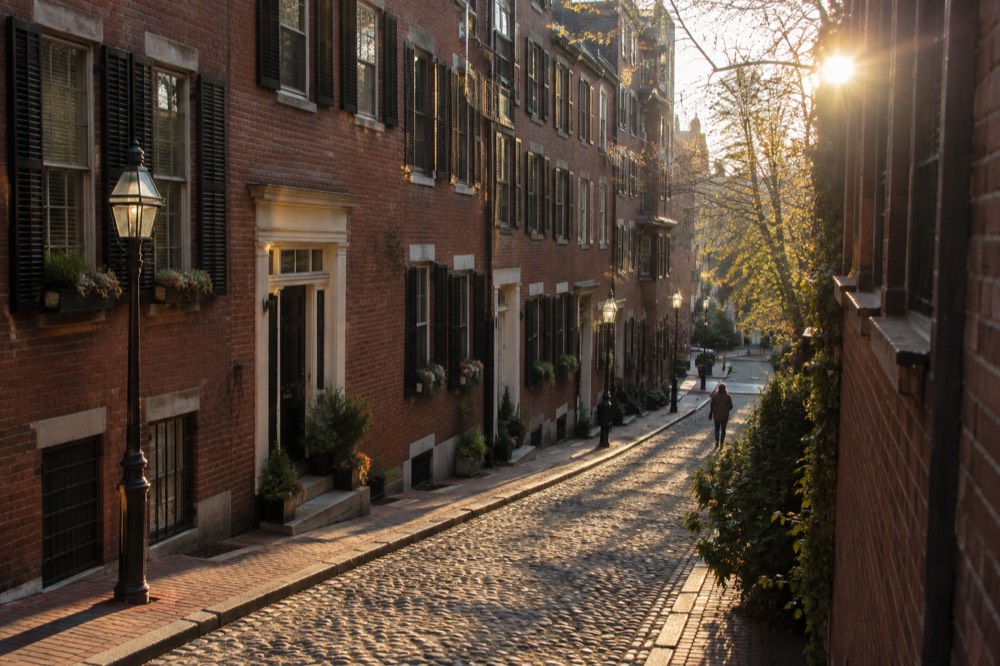
Beacon Hill retains a slope despite major alteration. Old North Church and Old State House sit in the older peninsula area, but only the latter is operated by Revolutionary Spaces. The organization does not operate Old North Church.
How Do You Tour The Old Boston Versus The New?
Compare historic maps with a walk through the older downtown and the later filled districts. Back Bay and the Seaport are also walkable; the Harbor Islands are largely glacial landforms, not simply another made-land district. A boat gives a different view, with some islands substantially modified by later construction and fill.
The Boston Duck Boat Sightseeing City Tour with Cruise, from $62 per person and rated 4.6 from 10,003 reviews over 1 hour 20 minutes, drives the streets and then splashes into the Charles River, so you see both the hills that remain and the flat land that was manufactured.
The selected downtown Freedom Trail walk offers Revolutionary history, not a geological survey of every parcel. Some filling predates the Revolution, and the war’s Boston-area sites extend beyond the old peninsula. The one-hour harbor cruise gives waterfront views and general history without promising specialist map interpretation.
Planning the split is a common question, and the answer depends on your days: if you are deciding how many days are enough to visit Boston, reserve one full day for the old peninsula and a second for the made-land districts. Readers sorting a short visit can look at what to do in Boston with only 2 days for a route that does both layers justice.
Check the Duck Tour’s dates and boarding point if you want a land-and-water outing. Its water section uses the Charles River, not Boston Harbor; for the harbor itself choose the cruise option below. Check Duck Tour dates
Common Questions About Old Maps Of Boston
Why do old maps of Boston look different?
Because Boston physically changed. The original 1630 peninsula was enlarged over three centuries by cutting down its hills and filling its harbor, so maps from different eras show genuinely different shapes of land, not just different drawing styles.
Is Back Bay man-made land?
Yes. Back Bay was a tidal flat until the middle of the nineteenth century, when the city began filling it with gravel and laying out the grid of streets that stands there today.
Which parts of Boston are on original land?
The colonial core survives: Beacon Hill's remaining slope, the North End, the area around the Old State House and Old South Meeting House, and Charlestown's original high ground. Most of the flat districts around them are fill.
Did Boston cut down its hills?
Yes. Hill cutting and land filling changed the city, but different projects used different material. Back Bay also received gravel brought by rail from Needham. Compare dated maps rather than assuming every filled area came from the nearest Boston hill.
Can you see where the old shoreline was?
Yes. Street names with "Wharf" that no longer touch water, the boundary between curving colonial streets and straight grids, and historic maps compared with present-day waterfront views can help trace the old shoreline.
Explore Boston’s Changing Landscape
These options do not match your choice. Adjust the selection or reset to explore the starting recommendation.
Boston Historic Harbor Cruise
A narrated 60-minute sightseeing cruise on Boston Harbor. Food and drinks cost extra. Boarding starts 15 minutes before departure; infants also need tickets. Accessible boat boarding does not mean the onboard restrooms are wheelchair accessible.
A starting option to explore. Choose dates, travelers and the exact booking option with the provider; availability and eligibility are confirmed there.
Check harbor cruise departure times